
Roelands topographic map
Interactive map
Click on the map to display elevation.
About this map
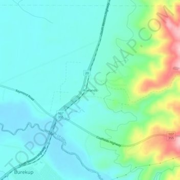
Name: Roelands topographic map, elevation, terrain.
Location: Roelands, Burekup, Western Australia, 6227, Australia (-33.31249 115.80819 -33.27249 115.84819)
Average elevation: 154 ft
Minimum elevation: 16 ft
Maximum elevation: 623 ft