
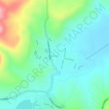
Arvento topographic map
Interactive map
Click on the map to display elevation.
About this map
Name: Arvento topographic map, elevation, terrain.
Location: Arvento, blvd bosques de santa anita 255, Jalisco, Mexico (20.44099 -103.31494 20.45442 -103.29713)
Average elevation: 5,194 ft
Minimum elevation: 5,026 ft
Maximum elevation: 5,600 ft