
La Quéwette topographic map
Interactive map
Click on the map to display elevation.
About this map
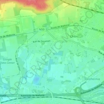
Name: La Quéwette topographic map, elevation, terrain.
Location: La Quéwette, Ghlin, Mons, Hainaut, Wallonie, 7011, Belgique (50.44998 3.87045 50.48998 3.91045)
Average elevation: 112 ft
Minimum elevation: 56 ft
Maximum elevation: 276 ft