
Gracias topographic map
Interactive map
Click on the map to display elevation.
About this map
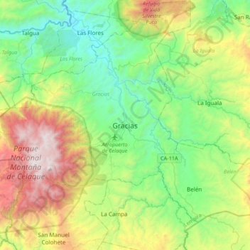
Name: Gracias topographic map, elevation, terrain.
Location: Gracias, Lempira, 42101, Honduras (14.42899 -88.74135 14.74899 -88.42135)
Average elevation: 3,980 ft
Minimum elevation: 1,526 ft
Maximum elevation: 9,288 ft