
Ring Walk topographic map
Interactive map
Click on the map to display elevation.
About this map
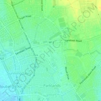
Name: Ring Walk topographic map, elevation, terrain.
Average elevation: 59 ft
Minimum elevation: 30 ft
Maximum elevation: 105 ft
Other topographic maps
Click on a map to view its topography, its elevation and its terrain.
Liesbeeck River
South Africa > Western Cape > Cape Town
Liesbeeck River, Observatory, Cape Town, City of Cape Town, Western Cape, 7925, South Africa
Average elevation: 49 ft