
Las Galeras topographic map
Interactive map
Click on the map to display elevation.
About this map
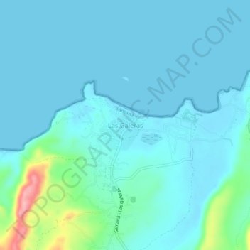
Name: Las Galeras topographic map, elevation, terrain.
Location: Las Galeras, Samaná, República Dominicana (19.27086 -69.21972 19.31086 -69.17972)
Average elevation: 62 ft
Minimum elevation: 0 ft
Maximum elevation: 482 ft