
Mtskheta topographic map
Interactive map
Click on the map to display elevation.
About this map
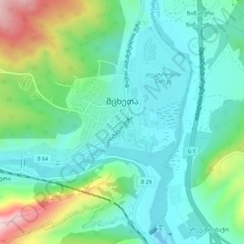
Name: Mtskheta topographic map, elevation, terrain.
Location: Mtskheta, Mtskheta-Mtianeti, 3300, Georgia (41.83641 44.68666 41.85126 44.72423)
Average elevation: 1,722 ft
Minimum elevation: 1,421 ft
Maximum elevation: 2,579 ft