
Cerisey topographic map
Interactive map
Click on the map to display elevation.
About this map
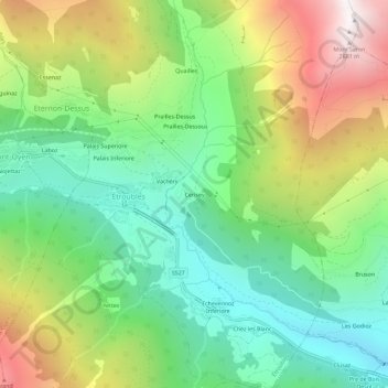
Name: Cerisey topographic map, elevation, terrain.
Location: Cerisey, Aostatal, Italien (45.80071 7.22033 45.84071 7.26033)
Average elevation: 5,505 ft
Minimum elevation: 3,501 ft
Maximum elevation: 8,862 ft