
Melouza topographic map
Interactive map
Click on the map to display elevation.
About this map
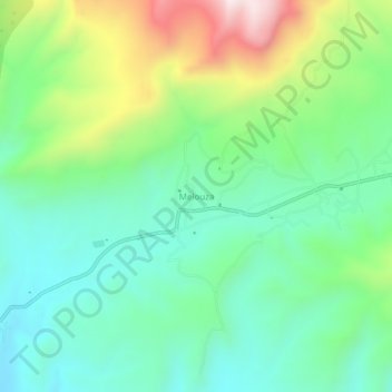
Name: Melouza topographic map, elevation, terrain.
Location: Melouza, Ouanougha, Daïra Hammam Delaa, M'Sila, Algérie (35.96226 4.16843 36.00226 4.20843)
Average elevation: 3,402 ft
Minimum elevation: 2,717 ft
Maximum elevation: 4,954 ft