
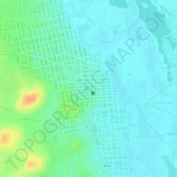
Ménaka topographic map
Interactive map
Click on the map to display elevation.
About this map
Name: Ménaka topographic map, elevation, terrain.
Location: Ménaka, Mali (15.91665 2.39995 15.91675 2.40005)
Average elevation: 919 ft
Minimum elevation: 879 ft
Maximum elevation: 1,024 ft