
Río Broqueles topographic map
Interactive map
Click on the map to display elevation.
About this map
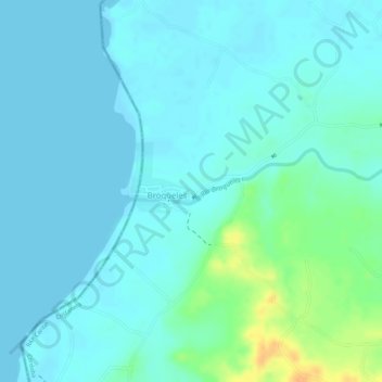
Name: Río Broqueles topographic map, elevation, terrain.
Location: Río Broqueles, Moñitos, Costanera, Córdoba, Colombia (9.21591 -76.16852 9.21764 -76.16076)
Average elevation: 26 ft
Minimum elevation: 0 ft
Maximum elevation: 118 ft