
Eppenzillfelshöhle topographic map
Interactive map
Click on the map to display elevation.
About this map
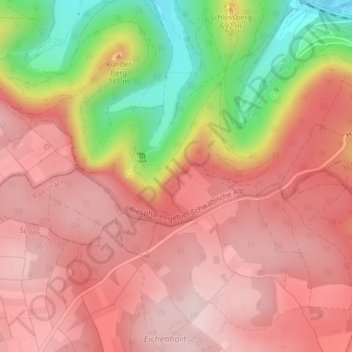
Name: Eppenzillfelshöhle topographic map, elevation, terrain.
Average elevation: 2,224 ft
Minimum elevation: 1,476 ft
Maximum elevation: 2,615 ft
Other topographic maps
Click on a map to view its topography, its elevation and its terrain.
Sirchingen
Deutschland > Baden-Württemberg > Landkreis Reutlingen > Bad Urach
Sirchingen, Bad Urach, Gemeindeverwaltungsverband Bad Urach, Landkreis Reutlingen, Baden-Württemberg, 72574, Deutschland
Average elevation: 2,300 ft