
Podor topographic map
Interactive map
Click on the map to display elevation.
About this map
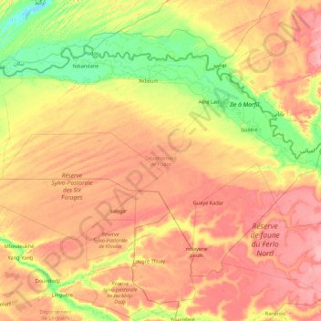
Name: Podor topographic map, elevation, terrain.
Location: Podor, Saint-Louis, Saint-Louis Region, Senegal (15.49246 -15.43888 16.69197 -13.70220)
Average elevation: 121 ft
Minimum elevation: -3 ft
Maximum elevation: 272 ft
Other topographic maps
Click on a map to view its topography, its elevation and its terrain.