
Çırçır topographic map
Interactive map
Click on the map to display elevation.
About this map
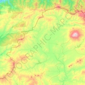
Name: Çırçır topographic map, elevation, terrain.
Location: Çırçır, Yıldızeli, Sivas, Central Anatolia Region, Turkey (39.96802 36.59657 40.21873 36.98738)
Average elevation: 5,020 ft
Minimum elevation: 3,015 ft
Maximum elevation: 8,340 ft
Other topographic maps
Click on a map to view its topography, its elevation and its terrain.