
Benito Juárez topographic map
Interactive map
Click on the map to display elevation.
About this map
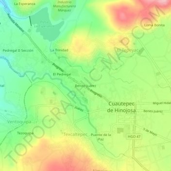
Name: Benito Juárez topographic map, elevation, terrain.
Location: Benito Juárez, Cuautepec de Hinojosa, Hidalgo, México (20.02197 -98.34107 20.06197 -98.30107)
Average elevation: 7,352 ft
Minimum elevation: 7,133 ft
Maximum elevation: 7,628 ft