
Takerboust topographic map
Interactive map
Click on the map to display elevation.
About this map
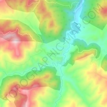
Name: Takerboust topographic map, elevation, terrain.
Location: Takerboust, Belaas, Daïra Bathia, Aïn Defla, Algérie (35.98985 1.77377 36.02985 1.81377)
Average elevation: 2,096 ft
Minimum elevation: 1,453 ft
Maximum elevation: 2,897 ft