
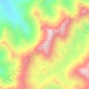
Jabal Gumbiri topographic map
Interactive map
Click on the map to display elevation.
About this map
Name: Jabal Gumbiri topographic map, elevation, terrain.
Location: Jabal Gumbiri, Sinkat District, Red Sea State, Sudan (19.32845 36.66665 19.32855 36.66675)
Average elevation: 3,799 ft
Minimum elevation: 2,638 ft
Maximum elevation: 4,728 ft