
San Francisco Temetzontla topographic map
Interactive map
Click on the map to display elevation.
About this map
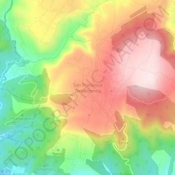
Name: San Francisco Temetzontla topographic map, elevation, terrain.
Location: San Francisco Temetzontla, Panotla, Tlaxcala, México (19.33028 -98.30861 19.37028 -98.26861)
Average elevation: 8,084 ft
Minimum elevation: 7,297 ft
Maximum elevation: 8,806 ft
Other topographic maps
Click on a map to view its topography, its elevation and its terrain.