
San Vicenzo topographic map
Interactive map
Click on the map to display elevation.
About this map
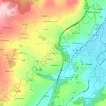
Name: San Vicenzo topographic map, elevation, terrain.
Location: San Vicenzo, Maside, Sarria, Galicia, 27619, España (42.76254 -7.45306 42.80254 -7.41306)
Average elevation: 1,706 ft
Minimum elevation: 1,348 ft
Maximum elevation: 2,195 ft