
Ihuarí topographic map
Interactive map
Click on the map to display elevation.
About this map
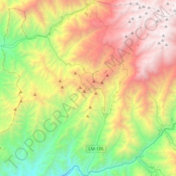
Name: Ihuarí topographic map, elevation, terrain.
Location: Ihuarí, Provincia de Huaral, Lima, Perú (-11.34861 -77.08806 -11.07825 -76.82651)
Average elevation: 8,281 ft
Minimum elevation: 2,411 ft
Maximum elevation: 16,263 ft
Other topographic maps
Click on a map to view its topography, its elevation and its terrain.
Provincia de Huaral
Provincia de Huaral, Ihuarí, Provincia de Huaral, Lima, Perú
Average elevation: 7,726 ft