
Alamanda topographic map
Interactive map
Click on the map to display elevation.
About this map
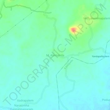
Name: Alamanda topographic map, elevation, terrain.
Location: Alamanda, Devarapalle, Visakhapatnam, Andhra Pradesh, India (17.91150 82.98316 17.95150 83.02316)
Average elevation: 243 ft
Minimum elevation: 203 ft
Maximum elevation: 374 ft