Pedro Ruiz topographic map
Interactive map
Click on the map to display elevation.
About this map
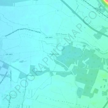
Name: Pedro Ruiz topographic map, elevation, terrain.
Average elevation: 1,827 ft
Minimum elevation: 1,778 ft
Maximum elevation: 2,224 ft

Click on the map to display elevation.
Name: Pedro Ruiz topographic map, elevation, terrain.
Average elevation: 1,827 ft
Minimum elevation: 1,778 ft
Maximum elevation: 2,224 ft