
Argenteuil topographic map
Interactive map
Click on the map to display elevation.
About this map
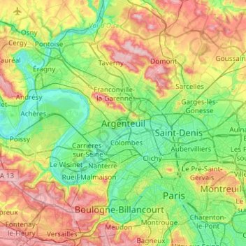
Name: Argenteuil topographic map, elevation, terrain.
Location: Argenteuil, Val-d'Oise, France métropolitaine, 95100, France (48.78791 2.08818 49.10791 2.40818)
Average elevation: 259 ft
Minimum elevation: 59 ft
Maximum elevation: 646 ft