
Umiat topographic map
Interactive map
Click on the map to display elevation.
About this map
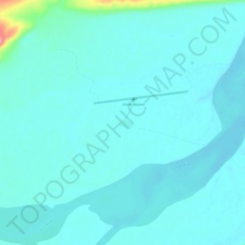
Name: Umiat topographic map, elevation, terrain.
Location: Umiat, North Slope, Alaska, United States (69.34694 -152.16417 69.38694 -152.12417)
Average elevation: 272 ft
Minimum elevation: 240 ft
Maximum elevation: 591 ft