
Al Wahdah topographic map
Interactive map
Click on the map to display elevation.
About this map
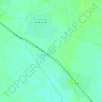
Name: Al Wahdah topographic map, elevation, terrain.
Location: Al Wahdah, Mada'in, Baghdad, Iraq (33.10984 44.62640 33.18984 44.70640)
Average elevation: 102 ft
Minimum elevation: 89 ft
Maximum elevation: 118 ft