
Agua Grande topographic map
Interactive map
Click on the map to display elevation.
About this map
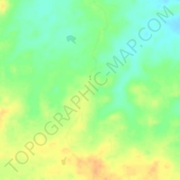
Name: Agua Grande topographic map, elevation, terrain.
Average elevation: 479 ft
Minimum elevation: 417 ft
Maximum elevation: 535 ft
Other topographic maps
Click on a map to view its topography, its elevation and its terrain.
Guardatinajas
Venezuela > Guarico State > Municipio Francisco de Miranda
Guardatinajas, Parroquia Guardatinajas, Municipio Francisco de Miranda, Guarico State, Venezuela
Average elevation: 305 ft
Chaguaramas
Venezuela > Guarico State > Chaguaramas
Chaguaramas, Parroquia Chaguaramas, Municipio Chaguaramas, Guarico State, Venezuela
Average elevation: 558 ft
Calabozo
Venezuela > Guarico State > Calabozo
Calabozo, Distrito Miranda, Guarico State, 2312, Venezuela
Average elevation: 302 ft