
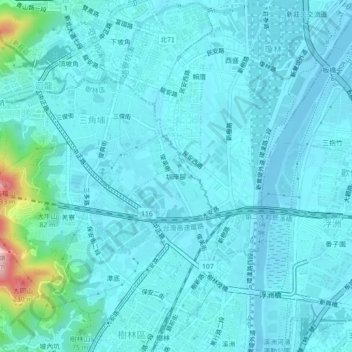
圳安里 topographic map
Interactive map
Click on the map to display elevation.
About this map
Name: 圳安里 topographic map, elevation, terrain.
Location: 圳安里, Zun'anjiao, Shulin District, New Taipei, 23867, Taiwan (24.98866 121.40608 25.02866 121.44608)
Average elevation: 85 ft
Minimum elevation: -16 ft
Maximum elevation: 781 ft