
塔城乡 topographic map
Interactive map
Click on the map to display elevation.
About this map
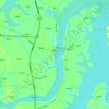
Name: 塔城乡 topographic map, elevation, terrain.
Location: 塔城乡, 南昌县, 南昌市, 江西省, 中国 (28.45010 116.05365 28.55318 116.15472)
Average elevation: 62 ft
Minimum elevation: 39 ft
Maximum elevation: 112 ft
Other topographic maps
Click on a map to view its topography, its elevation and its terrain.