
Lochaber topographic map
Interactive map
Click on the map to display elevation.
About this map
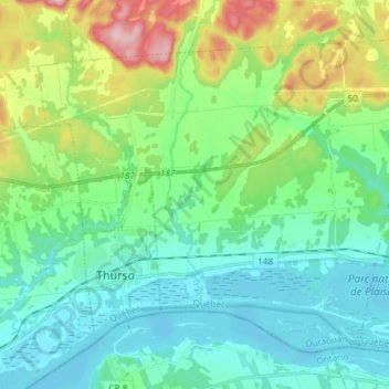
Name: Lochaber topographic map, elevation, terrain.
Location: Lochaber, Papineau, Outaouais, Québec, Canada (45.57756 -75.27565 45.66166 -75.12791)
Average elevation: 312 ft
Minimum elevation: 125 ft
Maximum elevation: 886 ft