
Viljandi vald topographic map
Interactive map
Click on the map to display elevation.
About this map
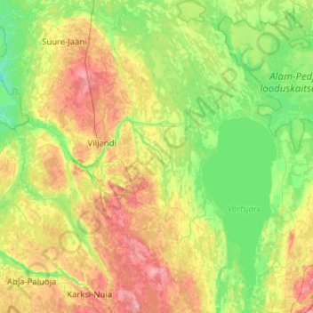
Name: Viljandi vald topographic map, elevation, terrain.
Location: Viljandi vald, Viljandi maakond, Estland (58.06989 25.30726 58.60566 26.19084)
Average elevation: 190 ft
Minimum elevation: 62 ft
Maximum elevation: 486 ft