
Liddes topographic map
Interactive map
Click on the map to display elevation.
About this map
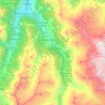
Name: Liddes topographic map, elevation, terrain.
Location: Liddes, Entremont, Vallés, 1945, Suiza (45.91392 7.12342 46.03428 7.27199)
Average elevation: 6,965 ft
Minimum elevation: 2,871 ft
Maximum elevation: 12,024 ft