
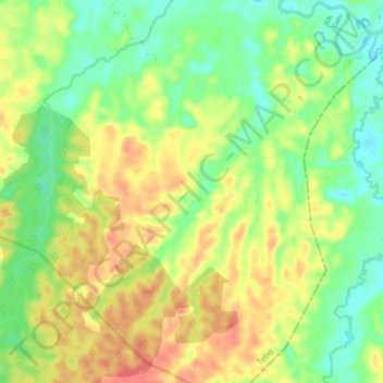
Sungai Sungkai topographic map
Interactive map
Click on the map to display elevation.
About this map
Name: Sungai Sungkai topographic map, elevation, terrain.
Location: Sungai Sungkai, Tanah Garo, Jambi, Indonesia (-1.79627 102.63354 -1.71727 102.67247)
Average elevation: 167 ft
Minimum elevation: 72 ft
Maximum elevation: 282 ft