
Victor Raul Haya de La Torre topographic map
Interactive map
Click on the map to display elevation.
About this map
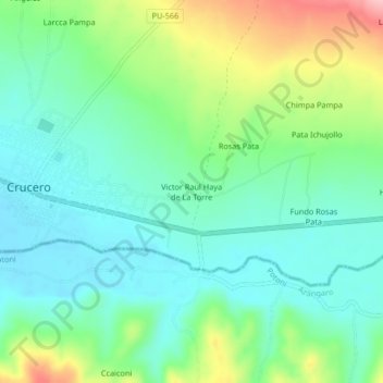
Name: Victor Raul Haya de La Torre topographic map, elevation, terrain.
Average elevation: 13,688 ft
Minimum elevation: 13,533 ft
Maximum elevation: 14,049 ft