
Rawaki Island topographic map
Interactive map
Click on the map to display elevation.
About this map
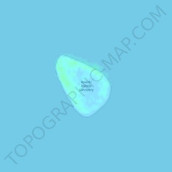
Name: Rawaki Island topographic map, elevation, terrain.
Location: Rawaki Island, Phoenix Islands, Kiribati (-3.72627 -170.71661 -3.71645 -170.70778)
Average elevation: 0 ft
Minimum elevation: -3 ft
Maximum elevation: 13 ft
Other topographic maps
Click on a map to view its topography, its elevation and its terrain.
Phoenix Islands
Kiribati > Phoenix Islands > Kanton
Phoenix Islands, Kanton, Phoenix Islands, Kiribati
Average elevation: 0 ft