
Fyfield topographic map
Interactive map
Click on the map to display elevation.
About this map
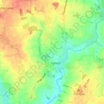
Name: Fyfield topographic map, elevation, terrain.
Location: Fyfield, Epping Forest, Essex, England, United Kingdom (51.72288 0.24651 51.76449 0.29506)
Average elevation: 223 ft
Minimum elevation: 144 ft
Maximum elevation: 299 ft