Geolocate

Río Rico topographic map

Click on the map to display elevation.

About this map

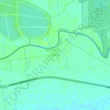
Name: Río Rico topographic map, elevation, terrain.

Location: Río Rico, Matamoros, Tamaulipas, Mexico (26.03779 -97.90972 26.07779 -97.86972)

Average elevation: 72 ft

Minimum elevation: 56 ft

Maximum elevation: 92 ft

Gear up for your next adventure:

🩹Survival Bandages - High‑quality bandages for emergencies
🗻Climbing Gear Basics - Essential gear for beginner climbers
📻Weather Alert Radios - Stay informed of storm risks while off-the-grid
💧Water Filtration Bottles - Safely drink from streams and lakes while exploring
🥾Women's Hiking Boots - Top-rated trail boots with ankle support and superior grip

As an Amazon Associate, this site earns from qualifying purchases at no extra cost to you.