
Fraser Dam topographic map
Interactive map
Click on the map to display elevation.
About this map
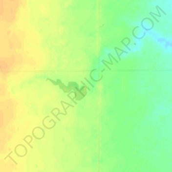
Name: Fraser Dam topographic map, elevation, terrain.
Average elevation: 1,453 ft
Minimum elevation: 1,394 ft
Maximum elevation: 1,493 ft
Other topographic maps
Click on a map to view its topography, its elevation and its terrain.
Sioux Falls
United States of America > South Dakota > Sioux Falls
Sioux Falls, Minnehaha County, South Dakota, United States of America
Average elevation: 1,440 ft
Yankton County
United States of America > South Dakota
Yankton County, South Dakota, United States of America
Average elevation: 1,329 ft