
Dhand topographic map
Interactive map
Click on the map to display elevation.
About this map
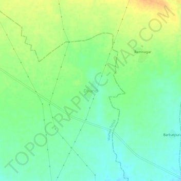
Name: Dhand topographic map, elevation, terrain.
Location: Dhand, Mahwa Tehsil, Dausa District, Rajasthan, India (26.88204 77.03395 26.92204 77.07395)
Average elevation: 735 ft
Minimum elevation: 689 ft
Maximum elevation: 791 ft
Other topographic maps
Click on a map to view its topography, its elevation and its terrain.
Maujpur
India > Rajasthan > Mahwa Tehsil
Maujpur, Mahwa Tehsil, Dausa District, Rajasthan, India
Average elevation: 794 ft