
Andrew Johnson National Historic Site topographic map
Interactive map
Click on the map to display elevation.
About this map
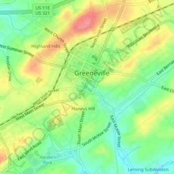
Name: Andrew Johnson National Historic Site topographic map, elevation, terrain.
Average elevation: 1,539 ft
Minimum elevation: 1,414 ft
Maximum elevation: 1,693 ft