Cane River topographic map
Interactive map
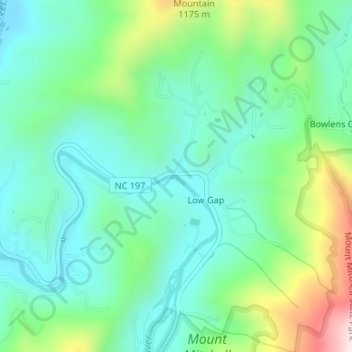
Click on the map to display elevation.
About this map
Name: Cane River topographic map, elevation, terrain.
Average elevation: 3,097 ft
Minimum elevation: 2,657 ft
Maximum elevation: 4,252 ft

Click on the map to display elevation.
Name: Cane River topographic map, elevation, terrain.
Average elevation: 3,097 ft
Minimum elevation: 2,657 ft
Maximum elevation: 4,252 ft