
Vaivre topographic map
Interactive map
Click on the map to display elevation.
About this map
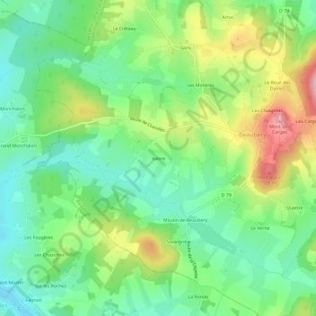
Name: Vaivre topographic map, elevation, terrain.
Average elevation: 1,273 ft
Minimum elevation: 1,043 ft
Maximum elevation: 1,686 ft
Other topographic maps
Click on a map to view its topography, its elevation and its terrain.
Givry
France > Bourgogne-Franche-Comté > Saône-et-Loire > Beaubery
Givry, Beaubery, Charolles, Saône-et-Loire, Bourgogne-Franche-Comté, France métropolitaine, 71220, France
Average elevation: 1,280 ft