
La Rosilla topographic map
Interactive map
Click on the map to display elevation.
About this map
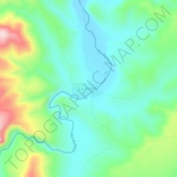
Name: La Rosilla topographic map, elevation, terrain.
Location: La Rosilla, Guanaceví, Durango, Mexico (26.34801 -106.22006 26.38801 -106.18006)
Average elevation: 6,804 ft
Minimum elevation: 6,486 ft
Maximum elevation: 7,618 ft