
Ekeren topographic map
Interactive map
Click on the map to display elevation.
About this map
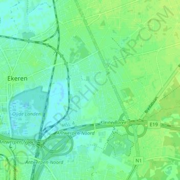
Name: Ekeren topographic map, elevation, terrain.
Location: Ekeren, Donk, Antwerpen, Vlaanderen, 2180, België (51.25554 4.42690 51.29554 4.46690)
Average elevation: 20 ft
Minimum elevation: -3 ft
Maximum elevation: 33 ft
Other topographic maps
Click on a map to view its topography, its elevation and its terrain.
Maldegem
België > Vlaanderen > Donk
Maldegem, Donk, Eeklo, Oost-Vlaanderen, Vlaanderen, 9990 MALDEGEM, België
Average elevation: 23 ft