
Indigolla topographic map
Interactive map
Click on the map to display elevation.
About this map
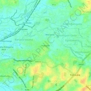
Name: Indigolla topographic map, elevation, terrain.
Average elevation: 66 ft
Minimum elevation: 23 ft
Maximum elevation: 135 ft
Other topographic maps
Click on a map to view its topography, its elevation and its terrain.
Gampaha
Sri Lanka > Western Province > Gampaha
Gampaha, Gampaha District, Western Province, 58.8, Sri Lanka
Average elevation: 79 ft