
S.G. Kollie topographic map
Interactive map
Click on the map to display elevation.
About this map
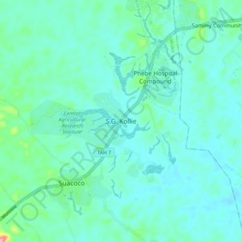
Name: S.G. Kollie topographic map, elevation, terrain.
Location: S.G. Kollie, Suakoko, Bong County, Liberia (6.96992 -9.60512 7.04992 -9.52512)
Average elevation: 837 ft
Minimum elevation: 764 ft
Maximum elevation: 1,230 ft