
南渡镇 topographic map
Interactive map
Click on the map to display elevation.
About this map
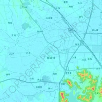
Name: 南渡镇 topographic map, elevation, terrain.
Location: 南渡镇, 溧阳市, 常州市, 江苏省, 213300, 中国 (31.37980 119.21206 31.51973 119.37378)
Average elevation: 33 ft
Minimum elevation: 3 ft
Maximum elevation: 561 ft
Other topographic maps
Click on a map to view its topography, its elevation and its terrain.