
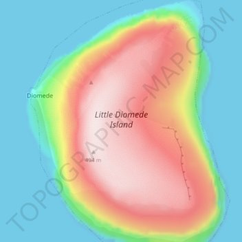
Little Diomede Island topographic map
Interactive map
Click on the map to display elevation.
About this map
Name: Little Diomede Island topographic map, elevation, terrain.
Location: Little Diomede Island, Diomede, Nome, Alaska, USA (65.73942 -168.95437 65.76988 -168.89609)
Average elevation: 525 ft
Minimum elevation: -3 ft
Maximum elevation: 1,365 ft