
Meyernberg topographic map
Interactive map
Click on the map to display elevation.
About this map
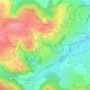
Name: Meyernberg topographic map, elevation, terrain.
Location: Meyernberg, Bayreuth, Bavière, Allemagne (49.93002 11.52202 49.94777 11.54867)
Average elevation: 1,253 ft
Minimum elevation: 1,115 ft
Maximum elevation: 1,430 ft