
Biezenkuilen topographic map
Interactive map
Click on the map to display elevation.
About this map
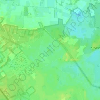
Name: Biezenkuilen topographic map, elevation, terrain.
Location: Biezenkuilen, Kalmthout, Antwerpen, 2920, België (51.41116 4.41872 51.41447 4.42206)
Average elevation: 59 ft
Minimum elevation: 33 ft
Maximum elevation: 82 ft