
Peč topographic map
Interactive map
Click on the map to display elevation.
About this map
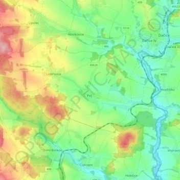
Name: Peč topographic map, elevation, terrain.
Average elevation: 1,650 ft
Minimum elevation: 1,467 ft
Maximum elevation: 1,949 ft
Peč befindet sich im Süden der Böhmisch-Mährischen Höhe am Lidéřovický potok, einem Zufluss der Mährischen Thaya. Durch den Ortsteil Urbaneč führt die Eisenbahn von Dačice nach Slavonice.